Sunday, June 23, 2013 (Day 5)
– laundry, get ready for the day
– leave at noon
– 1:30p Öxaráfoss, rift valley
– 2:30p Þingvellir, hiking
– 5:30p Drive to other area in Þingvellir
– 7p failed attempt at Brúarfoss
– 7:30p Geysir, cheap food court dinner
– 8p tour the Geysir area, and especially Strokkur
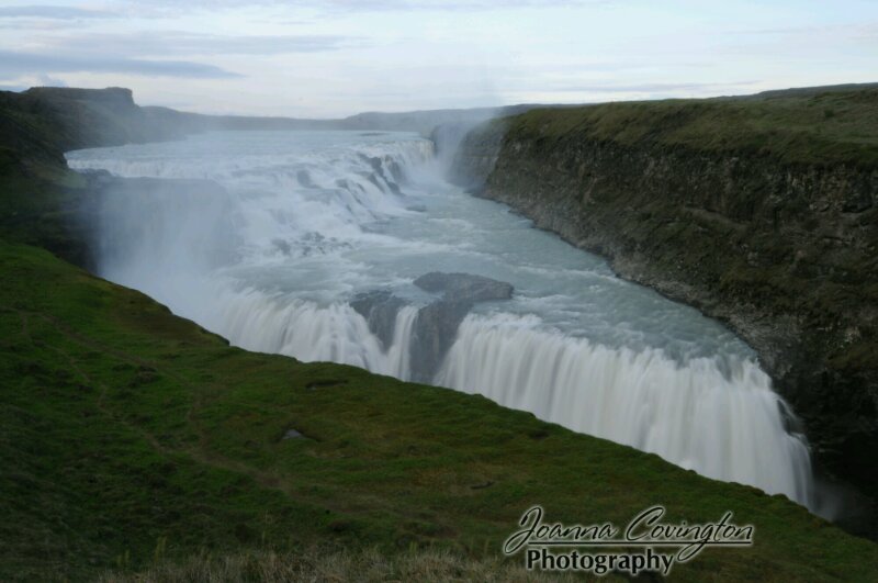
– 9p Gullfoss
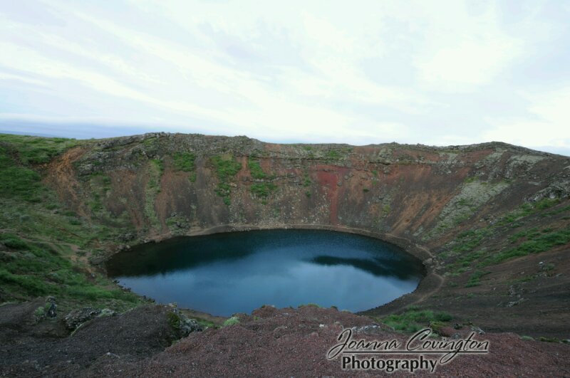
– 11p Kerið crater
– 12:15 home
The Golden Circle is a driving loop out of Reykjavik that covers most of Iceland’s best known natural sights within driving distance. It’s not actually a circle, but some tourism company must have come up with the name so they can sell tour bus tickets. We did see many tour buses today as we drove the Golden Circle.
We had a bit of a late start today, getting some chores done in the morning, and sleeping in a bit. However, there is no rush, really, because with unlimited daylight, we don’t have to worry about running out of sun. Plus, it is another gorgeous, sunny day for being out and about. We even started out in short sleeves, though the fleeces were added at our second stop.
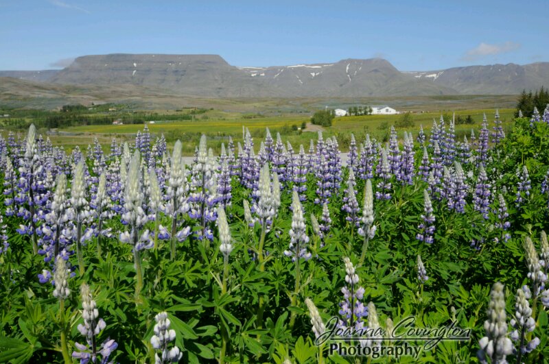
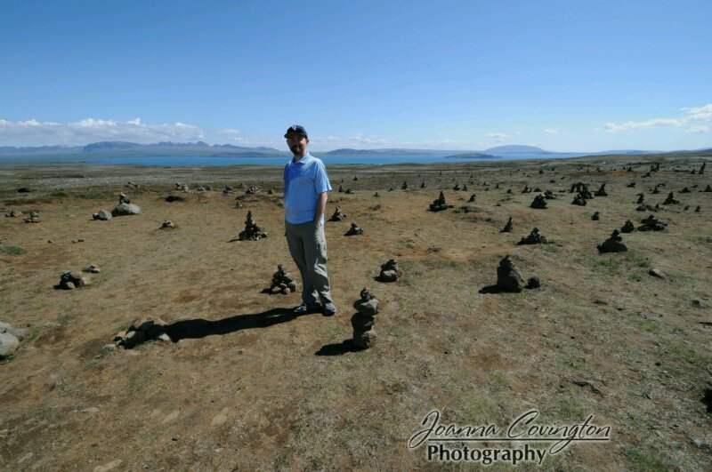
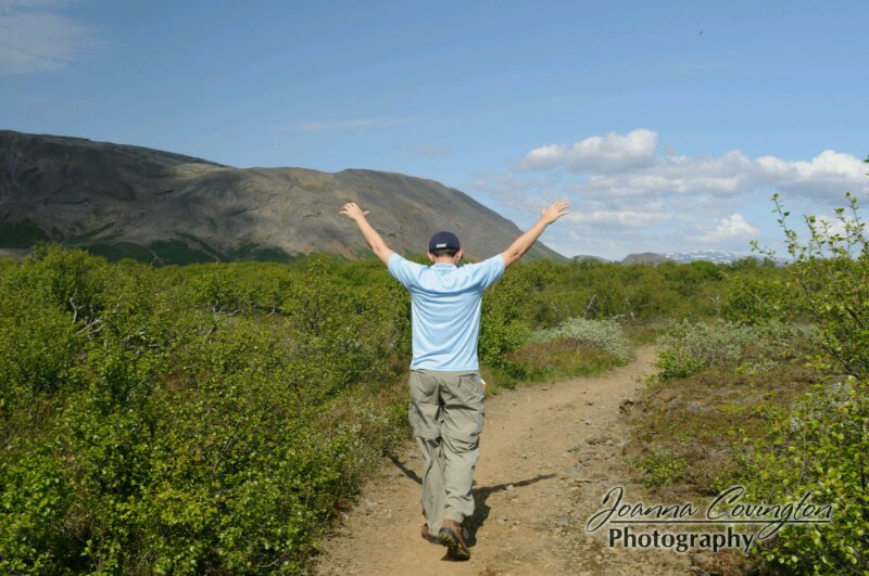
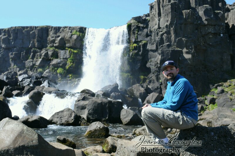
Our first stop was in the park, Þingvellir which is scarred by a rift valley where the Northamerican and European continental plates are shifting apart. Then, of course, the biggest draw of the park was hiking inside the gorge caused by this rift. Also, in this park is the location where hundreds of years ago, Icelands chieftains gathered to create laws and carry out other government proceedings. We stopped first for a hike to the Öxarárfoss waterfall through the actual rift. The hike was full of photo opportunities of the jagged rocks, the gorge, the wildflowers, and of course the waterfall itself. Our next stop, though, was a much longer 3 hour hike out of the Þingvellir visitor’s center. We hiked from the visitors center to three old and abandoned farm sites including Hrauntún and Skógarot. The end of the hike was the most interesting as we reached some more of the rift valley, and we could see that we were headed back to the waterfall we had just been to. We hiked back to the car and then drove to the main government meeting spot in Þingvellir, learning about the history of the area. From here we could see that we had already spent the bulk of our day here, so we headed on to the next stop.
I had really wanted to stop at a remote waterfall called Brúarfoss , however, this waterfall isn’t located on any maps. An internet search gave me directions including hopping fences and making lots of turns. It also gave us a spot to walk along a river for an unknown number of kilometers to find it. We drove to the spot, but couldn’t see where this waterfall might be and as soon as we parked, the car was engulfed in bugs, so we decided to skip out.
On to Geysir! Since we got here right at dinner time, and with no idea if there’d be any places to eat on the rest of the loop, we resorted to eating at the low quality food court here. We don’t recommend it, but it was food. After eating, we went off hiking around the geysir area, which reminded me of hiking around Old Faithful in Yellowstone. The area is geothermal, of course, and we could stay within a roped off walkway and tour all the blowholes that sometimes have geysirs. There was also lots of boiling water and interesting colors in the ground. Plus all the sulphur-smelling steam! The highlight of the area was the Strokkur geysir which actually erupts every 6-10 minutes. Though, while we were there, it seemed to go off even faster than that sometimes! But this was awesome, because if you missed a photo, you just had to wait a few minutes to grab another. We were most impressed with the blue bubble of water that appeared nano-seconds before the geysir blew. Very cool. The geysir named Geysir, only erupts during earthquakes.
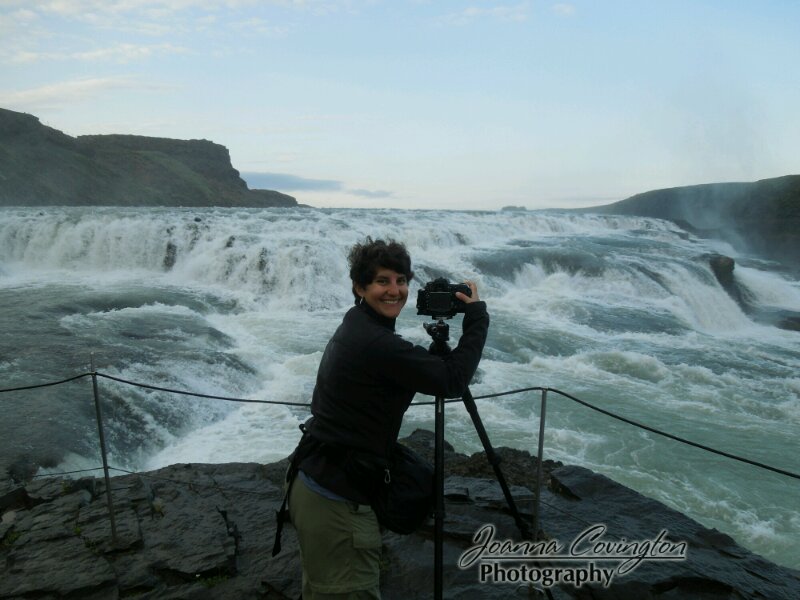
Next stop was Gullfoss, an enormous waterfall falling through a break in the river that actuallyy reminded me a little bit of Victoria Falls in Zambia. It wasn’t as large, of course, but it had that same zig-zag characteristic. Everything with the name “foss” attached to it will be a waterfall, so it is pretty easy to read the tour book and scan for waterfalls. =)
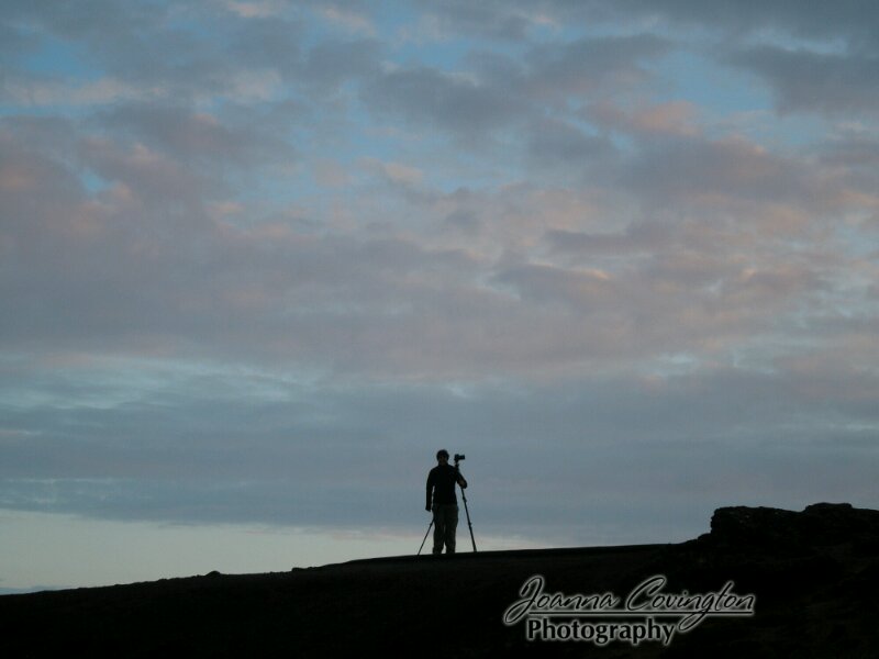
A bit of the ways down the road, our final stop was at the Kerið crater. This was a really neat stop as the crater was the top of a former volcano and full of water making a little crater lake. We could walk around the rim pretty quickly and as it was 11:30p, the sky was starting to turn colors for sunset, so we walked around to the back of the crater and took some sunset photos. We met a tour bus of people here as well and found out that even the tour busses stay out late. We were marveling at the fact that we were still sightseeing at 11pm!
And, finally, knowing that we’d be back in the general area at the tail-end of the Iceland trip, we drove back to our apartment in Reykjavik and fell into bed. It sure is easy to stay up super late around here! It never feels like it’s time for bed.

